
News
How 2025 shaped journalism: Insights from the Reuters Institute’s work

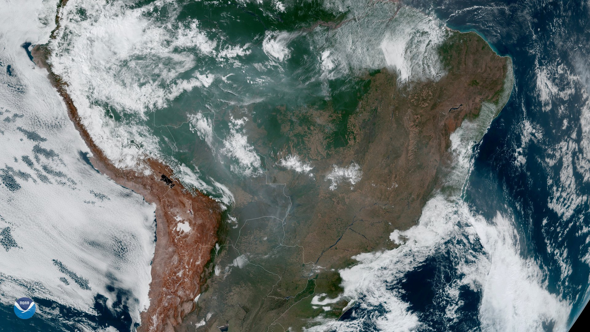
Fires burning in the Amazon Rainforest are pictured from space (Photography: Nasa/Reuters)
One of the most effective ways to report on the economic, social and political impacts of climate disruption, pollution and the loss of biodiversity is through accurate data collection and analysis. This requires learning a host of new skills and tools. Speaking at the global journalism seminar series, Gustavo Faleiros, environment investigations editor of the Rainforest Investigations Network funded by the Pulitzer Center, described this new breed of journalists as “modern cartographers” and said journalists should start with a basic understanding of statistical analysis.
Which kinds of abilities do these modern cartographers require? “[First] the basic spreadsheets, how to handle spreadsheets and reading data,” he said. “The ability to read data is something essential as you are able to [...] start filtering and getting trends and outliers. Being able to identify trends and outliers gives you a chance to find stories in datasets.”
In South America, where the main source of greenhouse gas emissions is the destruction of rainforests, Faleiros’s dogged tracking of fires set to clear land in Brazil and neighbouring countries drew attention to the problem, contributed to a worldwide debate, and eventually started initiatives in the political arena that led to international agreements. Now there’s even an international tool for tracking deforestation.
Speaking at one of our seminars, Faleiros offered some other key tools for anyone wanting to get started in this line of investigative reporting.
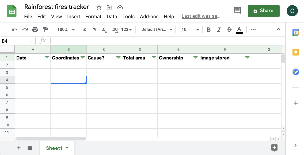
Yes, it sounds obvious, but your first stop if getting to grips with free-form data tracking tool Google Sheets. Learn to create and edit pivot tables using lessons in Google Support or using free tutorials on YouTube.
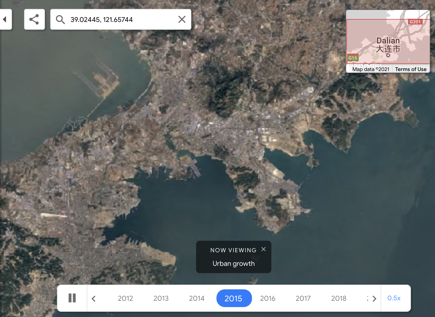
Start getting to grips with environmental changes with tools like Google Earth TimeLapse that allows you to see changes to specific landscapes over the past 37 years. When you’re ready to take it up a level, download Google Earth Pro to capture and tag changes.
You can also download QGIS to create, edit, visualise, analyse and publish geospatial information, like urbanisation, receding coastlines or deforestation.
When you’re ready to tell your story, try Mapbox Studio, which gives designers control over colors and fonts, and even 3D features to help you engage the reader.
The EO Browser offers a complete archive of images captured by Sentinel-1, Sentinel-2, Sentinel-3, Sentinel-5P, and ESA’s archive of Landsat 5, 7 and 8, as well as global coverage of Landsat 8, Envisat Meris, MODIS, Proba-V and GIBS products in one place.
NASA also operates Landsat Look which allows you to generate and download a video animation mosaic time-lapse showing how the dynamic mosaic changes over time
Reporting on climate change may require whistleblowing against corrupt governments and organised crime. So an important tool for this kind of work is knowing how to keep your data private, and how to share it safely.
Messaging apps like Signal offer a way to share information safely with end-to-end encryption (provided your device itself has no malware installed, so don’t click on links or files you don’t know to be safe).
For video calls with sources, try Jitsi, which hides your IP, provides password access, does not require your email and encrypts calls.
For safer email communication, try Tutanota, Rise Up or Thunderbird, all of which have two-factor authentication that will alert you when someone unwanted it trying to access your inbox. Practice good password hygiene by generating new and complex passwords frequently – a tool like Keepass can help with this.
Install Tella on your phone to keep your pictures, documents, audio and video hidden. It even includes a button to auto delete everything in case your phone is taken.
If you need to collaborate on a project and want a safe way to share high-risk information in real time, you can use Riseup Pad. This tool lets you choose how long you want the content to be available, and it doesn’t register your IP address.
Finally, for safer navigation you may want to install a virtual private network (VPN), particularly if you’re ever using an open WiFi network, which can leave a trail of all the sites you’re using for anyone to see.
Adele Machado Santelli is an environmental journalist with a postgraduate degree in Environmental, Sustainability and Global Policies from Fundação Armando Álvares Penteado (FAAP) in São Paulo. She is currently researching ocean plastic pollution as part of a master's degree program in Environmental Sciences at University of São Paulo. Her project at the Reuters Institute will look at how Brazilian digital media reports on deforestation.
Malva Izquierdo is an award-winning multimedia journalist with online content management skills encompassing film, animation and social media management. She works with Managua Furiosa, a popular independent digital media outlet in Nicaragua that covers art, culture and human rights. Her project at the Reuters Institute will look at how to cover emergencies in Nicaragua.